
Surveying the Boston Harbor Islands requires a lot of tools and equipment. Our hands are going to be full.
Today was the last day in the office before we head out into the field next week, so there was a lot to do. First, we had to finalize our plans for the field. We came up with an incredibly long protocol, which includes all the steps we need to take when we’re out on the islands. Out in the fields, we have three major goals: cataloging species biodiversity in the intertidal zones, assessing water quality at the waterfront, and mapping a beach profile.
Cataloging species biodiversity is by far the most complicated process. In order to do so, we’ll need to establish twenty different quadrats (1/4 meter by 1/4 meter) along a transect of the beach. The location of the quadrats needs to be completely randomized. Once placed, we’ll assess each quadrat for its species richness and the abundance of each species. In addition, we’ll pay special attention to crabs because those creatures tend to be really annoying. They’ll be removed and placed into buckets where we’ll later identify their species, sex, size and whether they are carrying eggs.

Above are our buckets and quadrats. The quadrats are not very large but will serve as our random samples of the beach. The pink buckets will be where we throw the crabs before we measure them and examine them further.
Yesterday, we experimented a little bit with the water quality equipment, and we ran into a few speed bumps. Hopefully, by next week, we’ll be able to use the equipment accurately to assess water quality. When we get to the beach, we’ll be looking for water temperature, pH, turbidity, salinity, dissolved oxygen and biological oxygen demand. We have a variety of tools to examine each of the qualities of water.
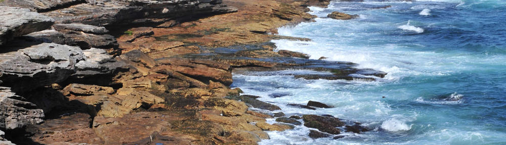
The beach profile is also a tedious process. With the help of a laser pointer, some string and a few yardsticks, we’ll find the slope of the beach at every 5 meter interval. Once the data is collected from the rocks to the waterline, we should be able to replicate the beach profile and slope with our data.
Next week is going to be an exhausting one, but it’ll also be very exciting. We’ll have lots to carry to the islands, between all of our equipment and tools. And hopefully, we won’t leave anything behind.
–Jeffrey
")
Above are a few of our measuring tools, including the caliper for measuring the crabs, the transect tape for creating our transects, and the yardsticks for creating the beach profile.
")
More tools: some sample bags and Tupperware for collecting and bringing back samples from the field, a probe for assessing a few water qualities, some laser pointers, some hand sanitizer, a hand lens, and a level